 English






Japan has spent decades building some of the most disaster-resistant infrastructure in the world. Earthquakes, typhoons, floods and rising climate risks still test how far physical barriers can go. Seawalls hold back water. Drainage channels redirect heavy rain. Stronger bridges ride out ground movement. What none of them can do is tell authorities where the next threat will appear or how fast it will spread.
That’s where Geospatial AI comes in. It combines location data, satellite observations, environmental data and machine learning, and Japan is using it to move toward a more predictive style of disaster management. The change is a big one. Rather than leaning mostly on recovery after an event, authorities can spot developing risks, assess vulnerable infrastructure and make better decisions before disaster hits.
Understanding Geospatial AI in Disaster Management
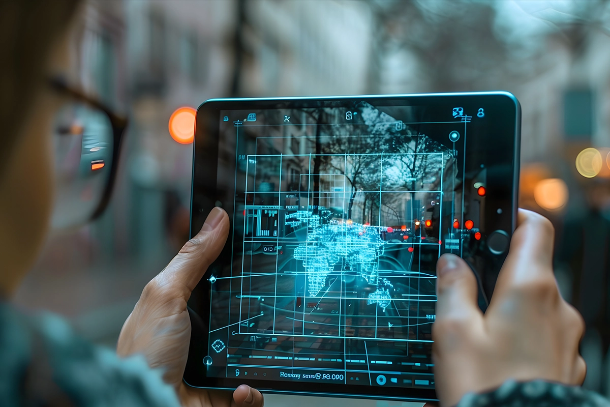 Geospatial AI pairs artificial intelligence with geographic information to find patterns, assess risks and make predictions from location-specific data. In disaster management, it helps authorities see where a threat could emerge, which areas face the most exposure and how a disaster might affect nearby infrastructure and communities.

The data comes from several places. Satellite imagery gives a broad view of land use and environmental change. LiDAR captures detailed elevation and surface data. Ground sensors report rainfall, water levels and other readings. 機械学習 models then go through all of it and pick up patterns that conventional monitoring can miss.
The real value is in connecting these observations, not looking at them one by one. A rainfall forecast gets far more useful when authorities can relate it to ground elevation, drainage capacity, road networks and nearby population centers. That’s what spatial intelligence adds. Traditional statistical models can estimate how likely an event is, but they often can’t show how its consequences spread across a physical environment.
Digital twins push this further. They create digital versions of physical places and systems, and when they’re fed relevant, regularly updated data, authorities can watch conditions change and test different scenarios.
Fujitsu’s Earth Intelligence Platform points in this direction. It brings together satellite observations, industrial information and climate or physical models, then adds AI and simulation on top. The framework supports visualization, prediction, scenario analysis and risk assessment. Fujitsu also names explainable AI and large-scale graph AI as key technologies behind it.
Why does this matter? Disaster preparedness depends on understanding how different risks relate to each other. Geospatial AI helps draw those links and turns scattered observations into information people can act on.
Strengthening Flood Prediction and Coastal Defense with AI
Flooding is a particularly serious challenge for Japan. Tokyo has extensive flood-control infrastructure, yet it’s still exposed to heavy rainfall, river flooding and coastal inundation. Around 1.5 million people live in areas below high-tide flood levels. Even a well-developed drainage network can’t remove every risk, which makes planning hard.
Physical infrastructure still matters a great deal. Tokyo’s Metropolitan Area Outer Underground Discharge Channel, known as G-Cans, is a major example. This underground facility collects excess water from surrounding rivers and sends it toward the Edo River, which lowers flood risk across the region. Its huge storage and discharge systems show how engineering can protect densely populated areas.
Infrastructure on its own won’t give authorities the full picture of an approaching flood, though. They also need solid information on rainfall intensity, river conditions, terrain and the places likely to be hit hardest. Geospatial AI can link these variables and support more detailed risk assessments. Combine weather observations with topographical and infrastructure data, and predictive models can point to where water may collect and which locations need a closer look.
について Japan Meteorological Agency (JMA) offers a good example of how this intelligence is improving. On March 17, 2026, JMA upgraded its Local Forecast Model from a 2 km grid to a 1 km grid. A day later it launched a Local Ensemble Prediction System, which runs multiple forecast calculations to estimate the probability of heavy rainfall.
The Fugaku supercomputer supports the heavier calculations behind the upgrade. The finer resolution is meant to sharpen predictions of localized weather, including the linear precipitation bands that can produce intense rain.
All of this strengthens what disaster-management authorities have to work with. A more detailed forecast helps them judge where rain may turn severe and get their response moving earlier. Still, numerical weather prediction and AI-based geospatial analysis do different jobs. Their value depends on how well authorities can combine the outputs with terrain, river and infrastructure information.
Improving Infrastructure Resilience Through Predictive Maintenance
Japan’s infrastructure challenge isn’t only about the next earthquake or typhoon. A large share of its roads, bridges, water systems and other public assets are ageing and keep facing environmental stress. Looking after them takes regular inspections, accurate condition assessments and timely repairs. Doing it all by hand is difficult, especially across large networks spread over wide areas.
Geospatial AI can change how maintenance teams handle this. Instead of treating each asset as a standalone structure, authorities can look at its location, its surroundings, its past deterioration and its exposure to hazards. That gives them a better basis for deciding which assets need attention now and which can wait for routine maintenance.
Fujitsu’s Social Infrastructure solution is a practical case. It uses AI-based deterioration diagnostics and digital-twin capabilities to support maintenance. The system pulls together diagnostic applications, mobile imaging, inspection data collected from vehicles and accumulated information on equipment, environmental conditions and deterioration.
These datasets help assess the condition of infrastructure and inform decisions on when to replace it. Fujitsu lists roads, water and sewage systems and power facilities among the areas its solutions cover.
The wider point is that inspection data becomes much more useful once it’s tied to location and asset history. A road defect, for example, has to be read alongside its surroundings, earlier inspection records and likely deterioration patterns. AI-assisted diagnostics can help maintenance teams organize that 情報 and see where a closer inspection is needed.
None of this makes human inspectors unnecessary. Engineers still have to verify structural damage and decide whether an asset is safe. What AI does is point their attention at higher-risk assets, so they don’t have to rely only on fixed inspection schedules.
For Japan, that could support a more planned, evidence-based maintenance culture. It also shows that Geospatial AI can build resilience long before any disaster arrives.
Making Disaster Preparedness More Human-Centered
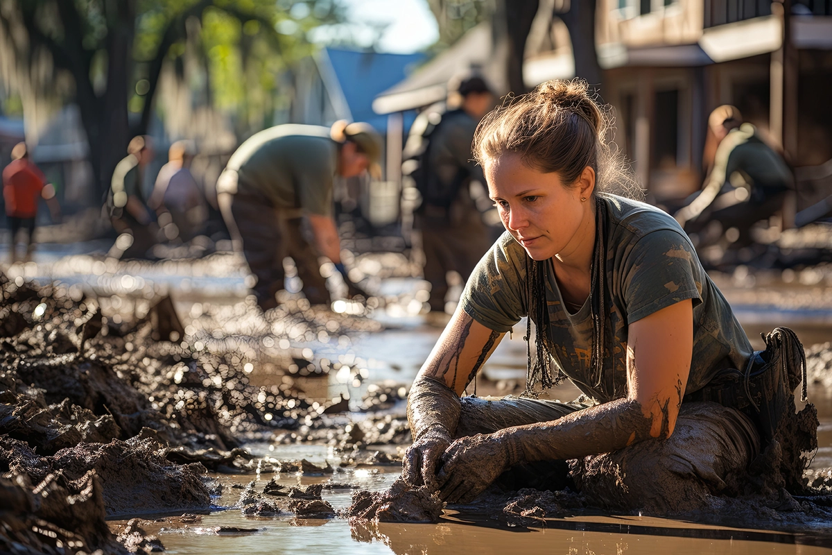 The best forecasting system in the world is worth little if people can’t understand its warnings or act on them. Preparedness comes down to decisions made by residents, emergency personnel and local authorities. Public communication and evacuation planning matter just as much as the technology that spots the risks.
Fujitsu is exploring this human side through its Social Digital Twin technology. At CEATEC 2026, the company demonstrated an evacuation simulation around Kawasaki Station using a hypothetical urban disaster. The system recreated the behavior of people, objects and events in a digital environment, so participants could see how different emergency measures might change an evacuation.
The demonstration tested possible interventions: multilingual announcements, extra guidance staff, more evacuation shelters and changes to evacuation arrangements. Authorities could try these scenarios out before bringing similar measures into the real world.
It tackles something conventional disaster planning can miss. A route may look fine on a map, but how well it works depends on how people move, how they react to instructions and how they interact with the infrastructure around them. Simulating those conditions helps authorities find weak points before a real emergency does it for them.
について Digital Agency of Japan is working on the digital side of evacuation management too. In FY2025, it looked at an evacuation reception application built on My Number Card functionality. The application was designed for rapid deployment after a disaster, including in municipalities that don’t already have an evacuation-management app. The agency ran a demonstration with Nabari City in Mie Prefecture and published its report on November 4, 2026.
It points to another piece of preparedness. Authorities need ways to handle evacuation reception and make the right information available when people arrive at shelters. Digital systems can support that and cut down on reliance on fragmented administrative procedures.
Taken together, these developments show why the human element has to stay central to Geospatial AI. Predictive models can flag risks, and digital simulations can test response strategies. But clear communication, accessible services and public trust decide whether any of it turns into effective action.
Japan’s Approach Offers a Blueprint for Global Climate Resilience
こちらもお読みください: アドビとグーグル、AIモデルとワークフローに関する提携を拡大
Japan’s experience holds a useful lesson for countries facing growing disaster risks. Better infrastructure is still essential, but how well it works depends more and more on the quality of the information behind it. Geospatial AI can connect environmental observations, インフラ conditions and human behavior, and that helps authorities make better-informed decisions.
Technology alone won’t guarantee resilience, though. Forecasting systems need reliable data. Digital platforms need agencies to coordinate. Communities need warnings they can understand and act on. Japan’s approach shows why all of these have to develop together.
Other countries can adapt the framework to their own geography, infrastructure and disaster risks. For local governments, the real question is simple: are you using spatial data to anticipate vulnerabilities, or still waiting for disasters to expose them? The answer will shape how prepared their communities are for what’s coming.


 日本語