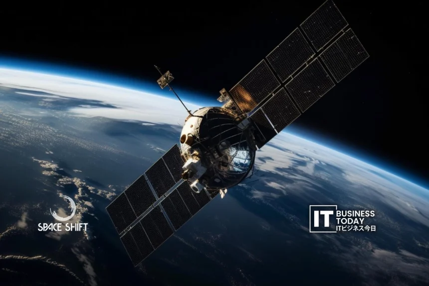
衛星データソリューションプロバイダーの株式会社スペースシフト(本社:東京都千代田区)は、衛星データ解析サービスの体系化を図り、様々な産業分野でAIを活用したソリューションを展開する新ブランド「SateAIs™」をリリースします。SateAIs™」は、衛星データ解析サービスを体系化し、様々な産業分野でのAIを活用したソリューションの開発を目指す新ブランドです。.
これは、地方自治体、企業、災害対応機関に実用的な洞察を直接提供することで、衛星データ分析の社会実装を強化するというSpaceShiftの広範なビジョンの一部です。.
実用的な衛星データの整理
To date, SpaceShift’s AI analysis services have been provided separately, which makes it difficult for users to clearly understand for what purpose the satellite data can serve. The SateAIs brand unifies these services into a structured sub-brand system, grouped by domains: urban planning, oceans, environmental monitoring, disaster response, and agriculture.
こちらもお読みください: BULLとMAITY Spaceが次世代宇宙安全のために提携
この構造化されたアプローチにより、ユーザーはニーズや目標に最適なAI分析ツールを迅速に特定し、選択することができます。また、SateAIsの下で2つの新しいAIサービスが開始されました:
SateAIs Time - 時系列変化検出AI
SateAIs Earth - 災害検知AI
その他にも、「SateAIs海」、「SateAIs環」などのサービスを近日中に開始する予定です。.
SateAIsタイム:リアルタイムで変化を監視
SateAIs Timeは、定期的な衛星観測とAI解析により、地表の変化を見つけるサービスです。このプラットフォームは、インフラ、工場、空港、不動産、その他重要な施設のモニタリングに非常に有効です。.
ユーザーには2つのデータ配信形式が用意されています:
検出された変更を電子メールで通知し、検出結果をカスタマイズされたシステムに統合するためのAPIを提供します。.
これにより、企業や政府機関は、新たな出来事を把握し、必要に応じてリアルタイムで効率的に対応することが容易になります。.
SateAIsアース災害対応の強化
SateAIs’ Earth service currently applies satellite imagery and AI to automatically detect flood zones, landslides, and other disaster-impacted areas. Our service gives a real-time view of disaster damage. This helps local governments and private companies focus on recovery efforts. They can better manage infrastructure and speed up insurance claims.
台風、土砂崩れ、洪水などの深刻な脅威に直面する日本。データに基づいた迅速な選択が、日本が的確に対応するのに役立っています。AIは大規模な衛星データを価値ある洞察に変換します。これにより、組織は迅速に行動し、最も必要な場所にリソースを向けることができます。.
業界への導入と社会実装の推進
SateAIsの立ち上げは、衛星データ分析の社会的活用における次のステップを示すものです。API、ダッシュボード、クラウドプラットフォームなど、アクセスしやすい配信形式にバンドルされたドメイン固有のAIパッケージにより、SpaceShiftは衛星データを幅広い産業で役立てることを目指しています。.
2026年以降は、製品やサービスをさらに拡大する予定です:
海上・港湾監視のためのAI船舶検知。.
農業計画と資源管理を支援する収量予測AI。.
SpaceShiftの目的は、地方自治体、企業、研究機関との共創を通じて、社会的・商業的応用における衛星データのさらなるAI導入と実用化を加速させることです。.
Implications for Japan’s Tech and Business Sectors
SateAIの立ち上げは、日本の様々な産業を再構築する可能性を秘めています:
災害管理: AIを活用した衛星解析により、都市や民間団体は緊急事態に迅速に対応することができます。これにより、人為的ミスが減り、セキュリティが向上します。.
インフラと都市計画 都市の成長とインフラ・プロジェクトを観察することは、賢明な選択と迅速な修復に役立ちます。.
農業:AI衛星画像は作物の収量を予測し、環境要因を追跡します。これにより、農家は資源を賢く利用することができます。農作物の収量を増やし、精密農業を取り入れることができます。.
ビジネスインテリジェンス: 衛星データは、市場分析、ロジスティクス計画、オペレーションを強化します。スマートなビジネス決定を後押しします。.
SateAIsブランドとAPI統合は、技術開発者、新興企業、企業のITチームに新たなチャンスを提供します。SateAIsブランドとAPI統合は、技術開発者や新興企業、企業のITチームに新たなチャンスを提供します。これは、アナリティクス、クラウドサービス、IoTアプリのイノベーションを強化します。.
今後の展望
スペースシフト plans to continue the development of new AI packages and delivery formats, further embedding satellite data analysis into operational workflows. SateAIs will drive Japan’s shift to data-driven decision-making. They provide customized AI solutions in easy-to-use formats.
Using AI to turn raw satellite data into useful insights, this initiative follows a key tech trend. It helps businesses operate better, respond quickly to disasters, and monitor the environment accurately. Japan’s local governments, companies, and research groups will gain as the SateAIs ecosystem expands. They will enjoy satellite data applications that are quicker, more precise, and easy to scale.


